The widespread assumption that cellular signals are omnipresent quickly falls apart beyond city limits. Whether driving through rural regions, hiking remote mountain trails, or navigating foreign countries under strict roaming caps, cellular connectivity remains the weakest link in mobile navigation.
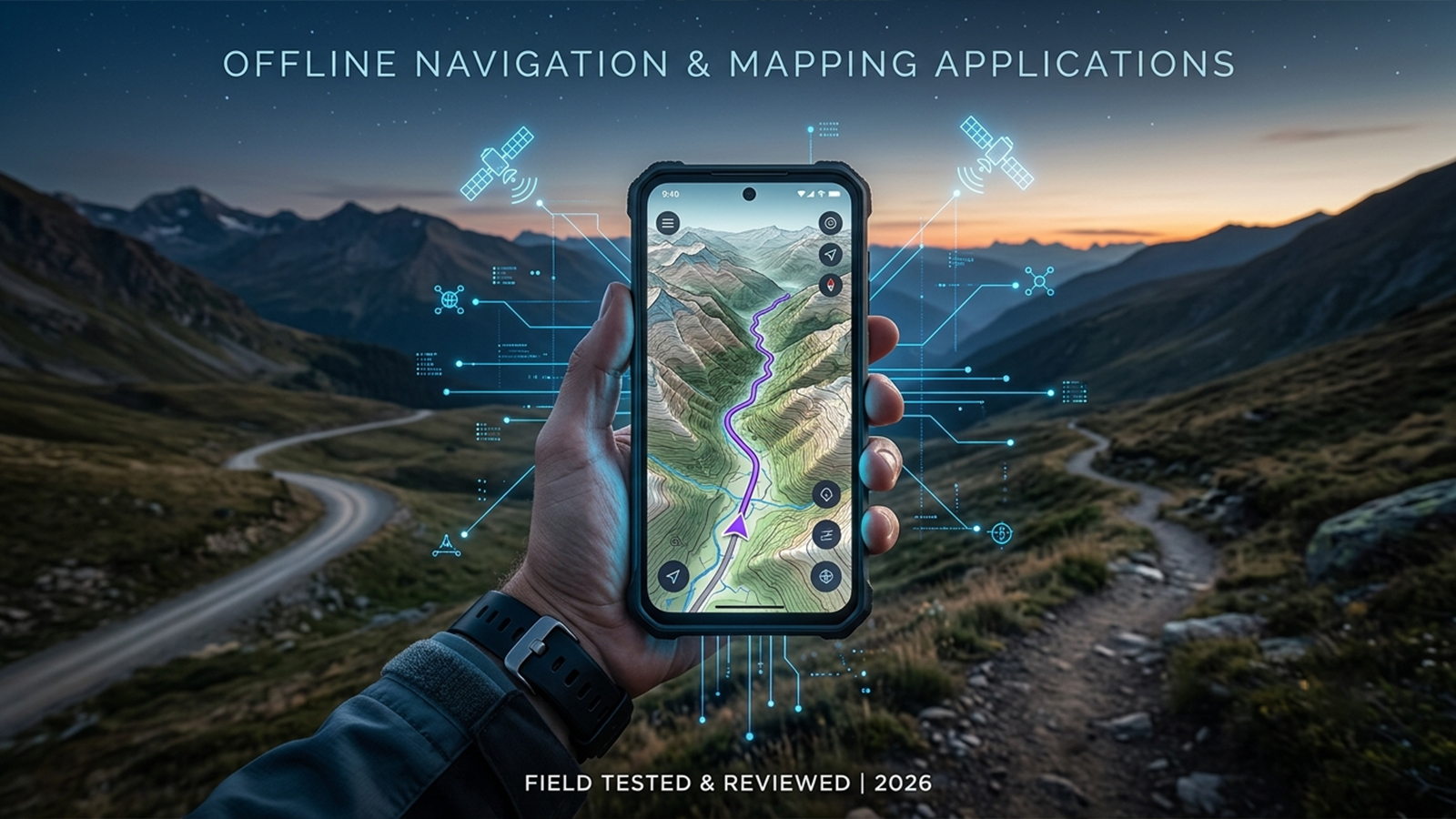
Field assessments demonstrate that offline mapping applications have transitioned from mere backup utilities into essential safety tools. Real-world testing—conducted across urban fringes, low-signal rural routes, and simulated network blackouts—reveals a sharp divide between competing software. While premier applications maintain pinpoint reliability and seamless routing offline, lesser tools frequently suffer from degraded positioning and incomplete data.
To determine the top performers, applications were evaluated based on four critical benchmarks:
Genuine offline functionality (comprehensive mapping rather than cached partial data)
The detail and quality of local maps (including roads, topography, and points of interest)
The reliability of turn-by-turn navigation without a network connection
Storage efficiency alongside clear, transparent pricing structures
The following five platforms represent the most reliable offline navigation software currently available for iOS and Android, verified through field performance and recent independent testing.
Organic Maps delivers a stripped-down, highly efficient navigation experience that prioritizes essential utility over unnecessary features. Utilizing open-source OpenStreetMap data, this platform operates entirely without user accounts, advertising, or data tracking.
Testing under absolute network isolation confirms that routing functions flawlessly for both drivers and pedestrians once regional maps are downloaded. Although the search function lacks the algorithmic predictive intelligence of cloud-reliant mapping giants, it remains highly functional, and the lightweight architecture ensures rapid loading speeds even on legacy smartphones.
Pros: Complete offline autonomy post-download; zero advertisements, tracking, or mandatory logins; minimal storage and processing footprint; exceptional clarity for hiking and walking basics.
Cons: Total absence of real-time traffic updates; missing advanced features like lane guidance and complex transit schedules; search functionality requires precise inputs compared to mainstream alternatives.
Pricing: Free (supported entirely by open-source community donations).
This platform stands out as the premier choice for travelers seeking a pure, distraction-free offline navigator that values privacy and reliability over premium subscriptions.
MAPS.ME caters directly to leisure travelers and tourists who require dependable offline guidance without dealing with complex technical configurations. During evaluations across remote driving and hiking routes, the application consistently delivered stable offline routing alongside a dense network of pre-loaded points of interest (POIs).
The user interface emphasizes immediate usability, making it highly approachable for individuals who prefer a plug-and-play experience. It successfully bridges the gap between rugged outdoor mapping and urban tourism.
Pros: Rich offline database of hotels, shops, and local attractions; strong trail coverage across popular hiking destinations; intuitive interface requiring no setup curve; fast initialization of offline routes.
Cons: Integrated advertisements and frequent prompts for in-app purchases; occasional data inconsistencies or outdated road entries reported in deep rural sectors; limited customization options for advanced users.
Pricing: Free with ad-supported features and optional in-app purchases.
An excellent option for standard vacations, international tourism, and casual road trips, though less suited for demanding backcountry expeditions or power users.
OsmAnd represents the most robust and data-heavy option within the offline mapping landscape. For technical field use, it provides unparalleled map detail, incorporating intricate contour lines, elevation data, specialized hiking and cycling paths, and extensive route customization.
However, this immense capability demands a steep learning curve. The interface requires deliberate configuration, and users must manually manage detailed regional downloads and distinct navigation profiles prior to departure.
Pros: Unmatched offline detail including terrain topography and elevation shading; advanced tailored routing for cycling, hiking, and driving; highly customizable navigation profiles; seamless integration of GPX tracks.
Cons: Complex interface that can overwhelm casual users; heavy storage consumption due to dense regional files; advanced features and premium map layers require a paid tier or ongoing subscription.
Pricing: Free base version available, with premium upgrades or subscriptions required for advanced mapping tools.
The definitive choice for dedicated hikers, cyclists, and overlanders who require precise environmental data and do not mind investing time into mastering a complex system.
HERE WeGo excels primarily in vehicular navigation, making it an ideal option for road trips and rental car use. The application simplifies the process of downloading entire country map files, and the clean, dashboard-oriented interface closely mirrors the design of dedicated in-car GPS units.
Vehicular guidance remains highly stable in the complete absence of a cellular connection. Furthermore, the map compression algorithm keeps file sizes relatively compact compared to competitors, with particularly strong performance observed across major highway networks and urban centers.
Pros: Superior offline vehicular routing and lane prompts; clean, distraction-free automotive display; dependable turn-by-turn voice directions; efficient file sizes for country-wide downloads.
Cons: Substantially less detailed than open-source alternatives for hiking or pedestrian trails; occasional routing anomalies when switched to pedestrian modes; limited coverage depth in specific remote regions.
Pricing: Free to use (ad-supported, with certain regional variations).
The most effective driving-centric offline app, highly recommended for cross-country road trips, highway travel, and navigating unfamiliar road networks in rental vehicles.
Sygic positions itself as a direct, premium replacement for traditional dashboard GPS hardware. In field evaluations, its offline functionality proved highly stable, distinguished by visually polished 3D maps, clear lane assistance prompts, and explicit speed limit alerts.
The software offers the refined aesthetic and premium feature set expected from built-in automotive navigation, successfully modernizing the experience for modern smartphone hardware.
Pros: High-fidelity offline 3D maps and landmarks; advanced driver safety tools including lane assist and speed alerts; excellent visual clarity for long-distance driving; polished user interface.
Cons: High dependency on subscription tiers, with many core features locked behind a paywall; costly compared to open-source alternatives; significant application size and battery consumption.
Pricing: Free to download, with a subscription required to unlock full offline navigation capabilities.
Best suited for motorists who prefer the premium, highly structured feel of a dedicated hardware GPS device and are willing to pay for aesthetic and functional refinements.
Analysis of these platforms under isolated field conditions proves that the optimal choice depends entirely on the intended environment and activities:
Best Overall Utility: Organic Maps balances speed, privacy, and true offline reliability without hidden costs.
Best for Driving: HERE WeGo offers the cleanest, most efficient interface for highway travel and rental car use.
Best for Wilderness & Trail Use: OsmAnd provides unmatched topographical detail for those who can navigate its complex interface.
Best for Casual Travel: MAPS.ME delivers a highly accessible, POI-rich map for standard tourism.
Best for Premium Features: Sygic GPS Navigation provides a polished, hardware-style driving experience for users comfortable with subscription models.
Modern offline navigation has evolved beyond an emergency fallback option; it serves as a critical infrastructure layer for remote travel. Selecting the proper tool ensures safety and direction, regardless of how far one travels off the grid.